


The focus on the human altered landscape emerges from, and is a development on the topographic approach to photography in Australia last section of an earlier body of work, namely Roadtrips in The Bowden Archives and Industrial Modernity project. The latter was a revision of my 1980s MA.
Australian topographics can be re-interpreted as topographics in the Antipodes to displace the implied nativism or nationalism in ‘Australian’, thereby linking up with the art historical work of Bernard Smith, even though his history of art more or less reduced art to painting.
In conventional art history topographics is associated with English topographical drawing in the late 18th and early 19th centuries and the tradition of draughtmanship and watercolour painting. It was seen as map work in the visual culture of colonial Australia and in the 20th century as denoting the largely descriptive function of images. In Australia, such images are seen to belong to the “art-as-information” type, in accord with Bernard Smith’s influential thesis in his European Vision and the South Pacific 1768-1850 regarding the non-aesthetic empiricism of early colonial topographic art.
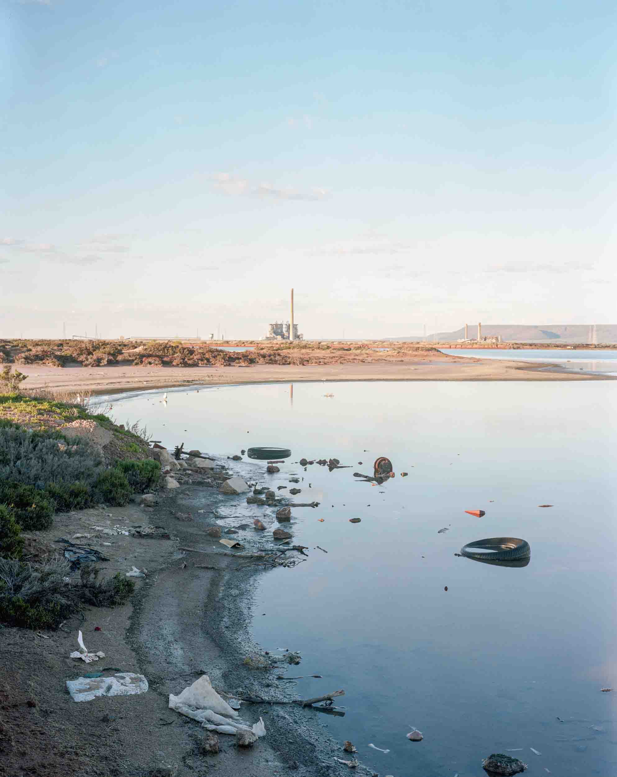
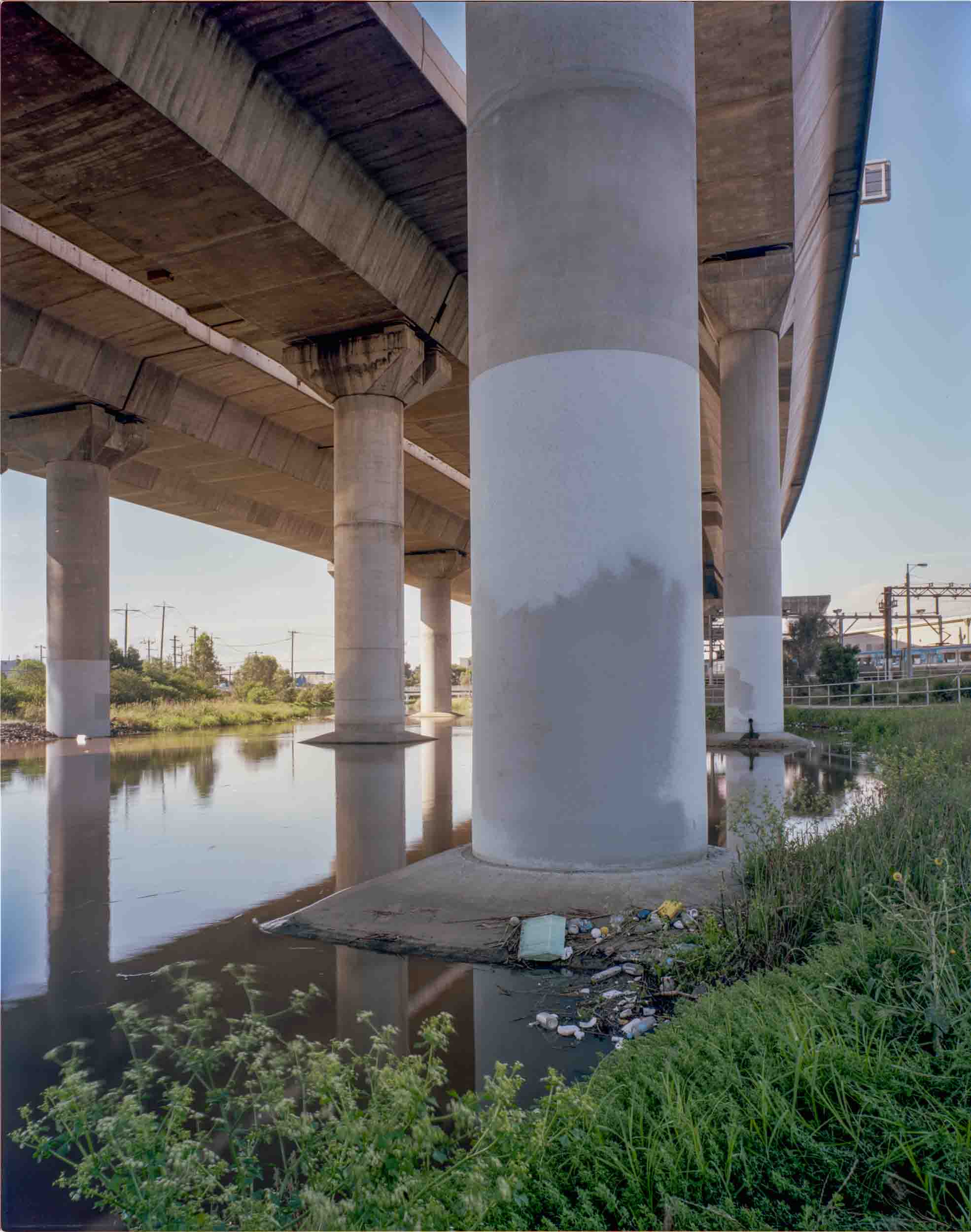
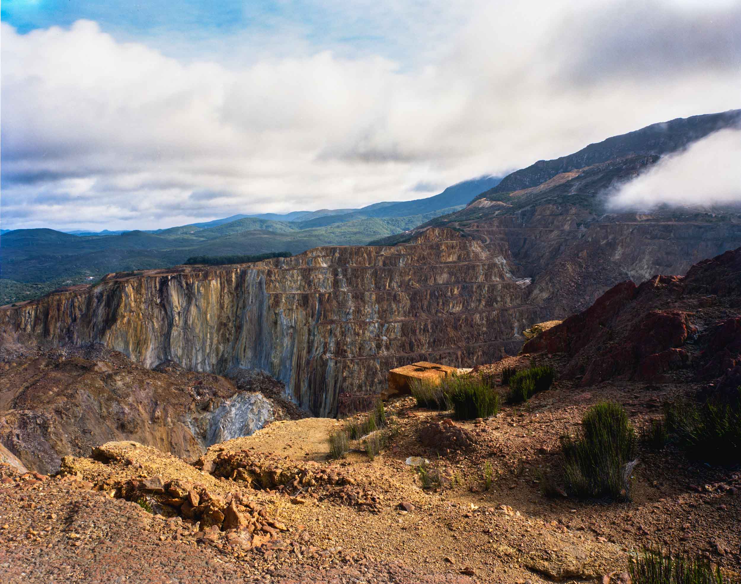
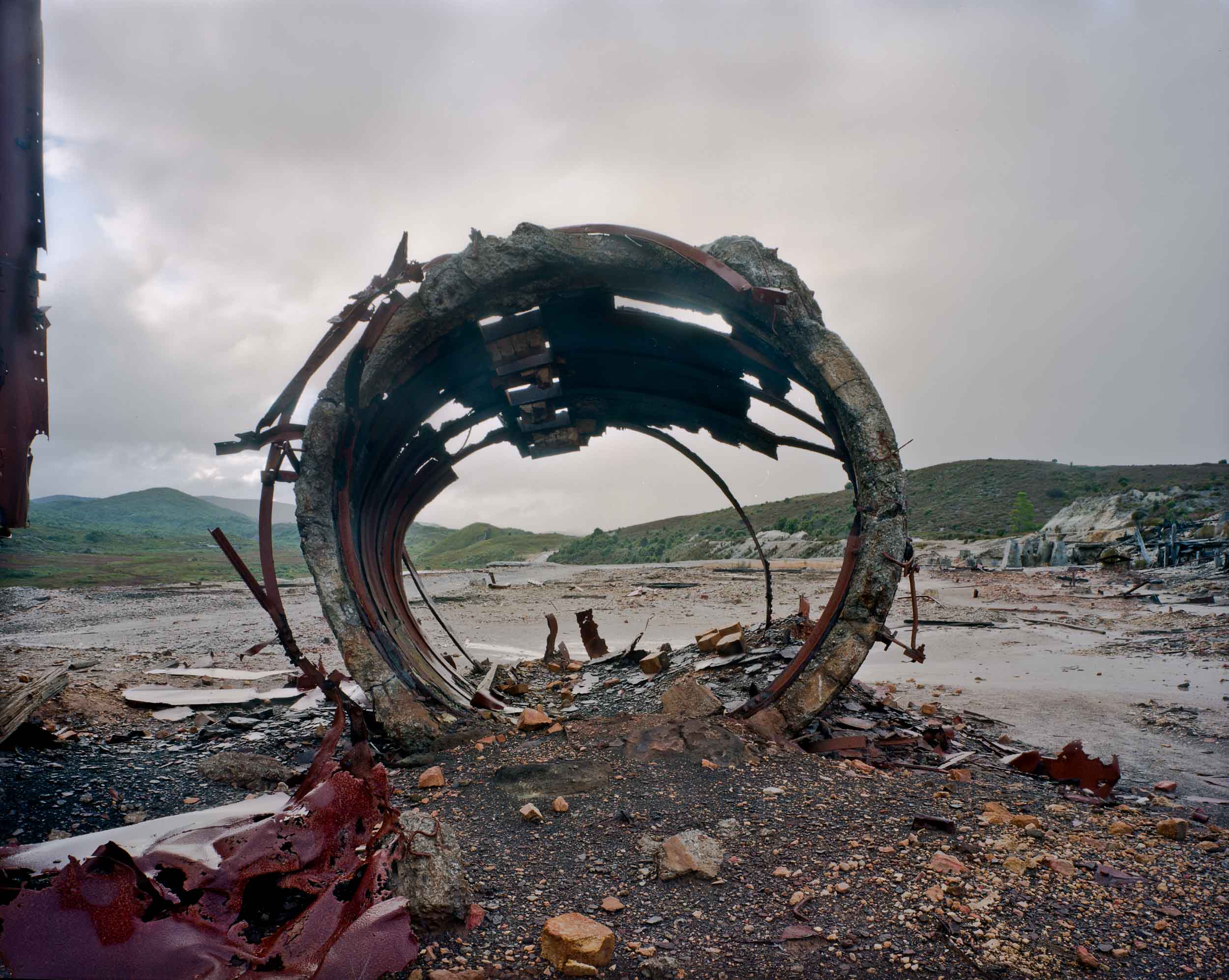
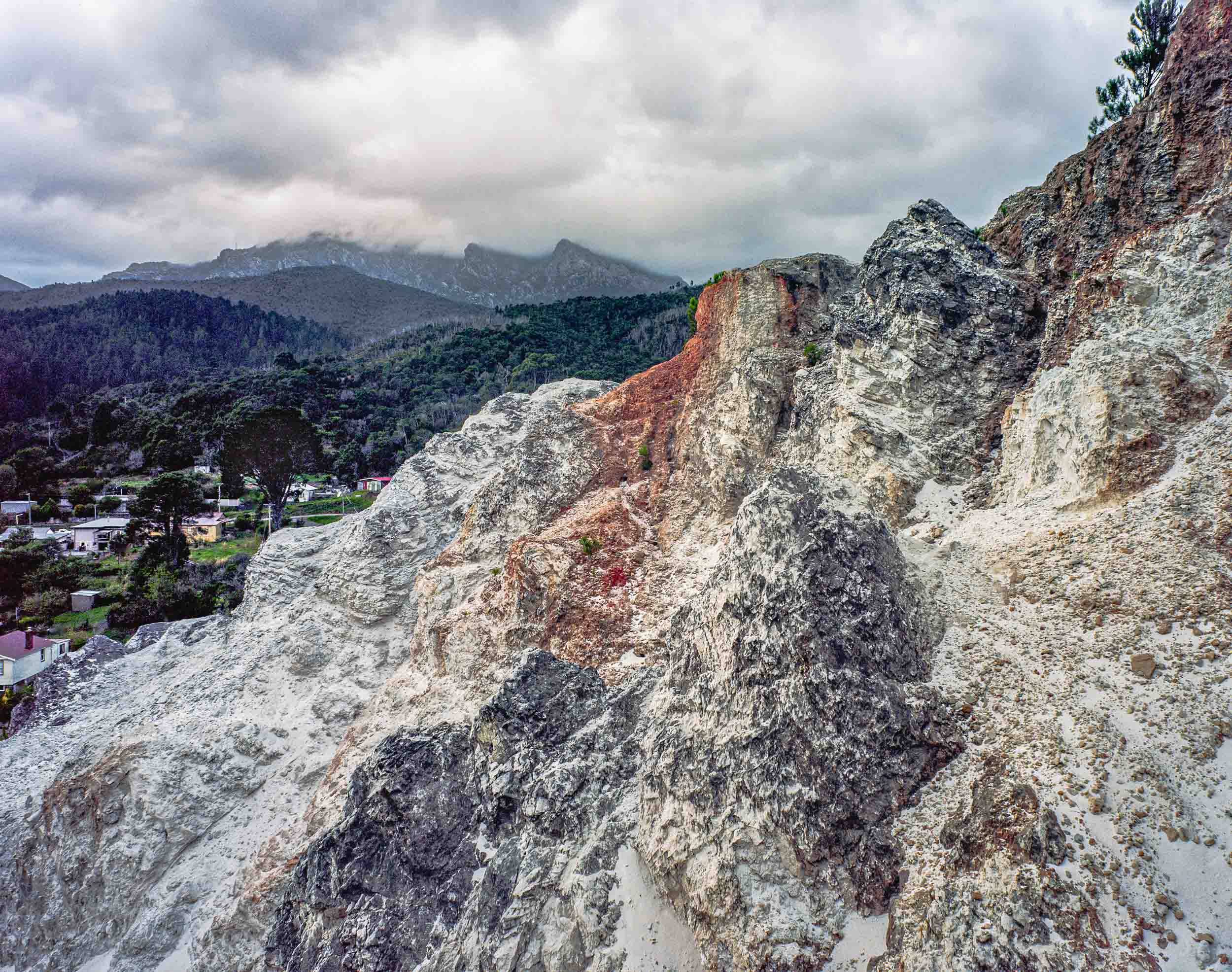
19th century photography becomes incorporated into the tradition of the art-as-information pictorial mode. It records, describes and illustrates colonial expeditions and land surveys. Hence topographical photography as a pictorial mode in the 19th century that given to local peculiarities of terrain, vegetation, architecture and urban views. It is not simply descriptive or empirical depictions as topographics was also held to work with a Picturesque framework.
In the Picturesque the images are mostly organized according to convention: they position landscape elements(trees, rocks) as framing devices and construct a layered picture plane that foregrounds a colonial narrative of some kind against receding middle grounds and backgrounds.